Banyalbufar
Back to all places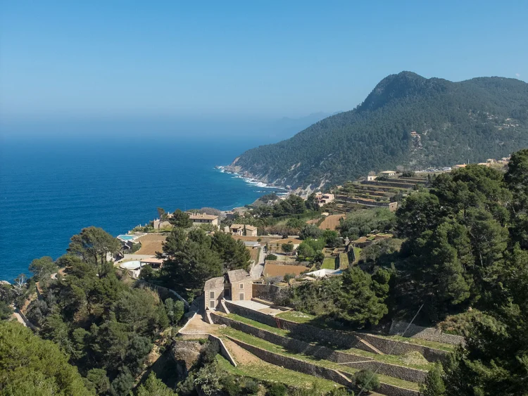
Nestled on the northwest coast of Majorca in the Balearic Islands, Banyalbufar is a municipality of historical intrigue and natural beauty. The region, with its unique topography, covers an area of 18.1 square kilometers and is hemmed in by the rugged Serra de Tramuntana mountain range, a UNESCO World Heritage site known for its dramatic landscapes and rich biodiversity. Notably, the region includes peaks like Mola de Planícia, standing at 942 meters, offering abundant hiking opportunities for outdoor enthusiasts.
The historical roots of Banyalbufar trace back to the Moorish occupation of Majorca in the 10th century. The town’s name, derived from the Arabic "Banyalbahar," meaning "founded by the sea," reflects its ancestral past. With the Catalan conquest in 1229 by King James I, the area’s fate shifted dramatically, coming under the governance of Gilabert de Cruïlles and Ramon sa Clusa. During the Middle Ages, the Barony of Banyalbufar established an almost feudal regime, with the Barony exerting significant influence over the valley’s inhabitants. Inhabitants traditionally focused on agriculture, cultivating crops such as wheat, barley, pulses, olives, and notably, the renowned Malvasier grape. This grape variety, cherished by the King of Aragon, also played a role in Majorca’s conquest due to its prized wine production. The terraced vineyards of Banyalbufar, supported by an ingenious irrigation system dating back to Moorish times, still bear testament to these agricultural practices.
Banyalbufar today, with its picturesque landscape, draws tourists to its quaint village charm and stunning coastal views. A highlight includes Torre de ses Animes, a 16th-century watchtower, which once served as a lookout against pirate invasions. The region also offers a serene walking route to Port des Canonge, through pine forests and alongside rocky coastlines — a trek that rewards hikers with spectacular vistas.
Photo: Anna & Michal
39.68723, 2.51361